Malé
Malé is the capital and most populous city in the Republic of Maldives. With a population of 227,486 and an area of 8.30 square kilometres (3.20 sq mi), it is also one of the most densely populated cities in the world. The city is geographically located at the southern edge of North Malé Atoll (Kaafu Atoll). Administratively, the city consists of a central island, an airport island, and four other islands governed by the Malé City Council.
History
The whole island group, the Maldives, is named after its capital. The word "Maldives" means "the islands (dives) of Malé".
The first settlers in the Maldivian islands were Dravidian people who arrived from the neighbouring shores of the modern Indian Subcontinent and coastal Ceylon. Comparative studies of Maldivian linguistic, oral, and other cultural traditions, in addition to folklore, point to a strong Dravidian influence on Maldivian society, centred in Malé, from ancient times. The Giraavaru people of Giraavaru claim descent from the first Tamil settlers of the Maldives.
It is said that early Tamil settlers called the islands Malaitivu, which means Garland Islands or Chain Islands. According to regional lore, Giraavaru fishermen used to go regularly to a certain large sandbank (finolhu) at the southern end of their atoll to clean tuna fish after a good catch. Owing to a large amount of tuna fish offal and blood, the waters around that sandbank looked like a big pool of blood ("maa ley gandeh": "maa" (from the Sanskrit मह "maha", meaning big, and "lē" blood). Traditionally the first inhabitants of the Maldives, which include the Giravaru people, didn't have kings. They lived in a simple society and were ruled by local headmen.
However, one day, a prince from the subcontinent called Koimala arrived in the Malé Atoll sailing from the North on a big ship. The people of Giraavaru spotted his vessel from afar and welcomed him. They allowed Prince Koimala to settle on that large sandbank in the midst of the waters tainted with fish blood. Trees were planted on the sandbank and it is said that the first tree that grew on it was the papaya tree. (However, this could refer to any tree that bears edible fruit as the archaic Dhivehi word, and Mahal word in modern times, for fruit (falhoa) was the same as that for the papaya.) As time went by, the local islanders accepted the rule of this Northern Prince. A palace was built and the island was formally named Maa-le (Malé), while the nearest island was named Hulhu-le.
The names of the main four wards or divisions of Malé Island are said to have been given by the original Giraavaru fishermen: Maafannu from maa (big) and fannu (a place where a village path meets the sea), Henveiru from en-beyru (out where fishermen got their bait), Galolhu from galu-olhu (stone groove) and, Macchangolhi from mathi-angolhi (windward path-fork).
In early foreign sources, Malé was called Ambria or Mahl. For the Maldivians, it was Fura Malé, i.e. "Malé the Pre-Eminent".
When Ibn Battuta travelled to Malé in 1343, he provided a rather extensive description of the city as well as the Islands of the Maldives overall. He mentioned that the Queen, Rehendhi Khadeeja, had a residence in Malé, which from its description may be assimilated to the same palace of the later sultan rulers, in the centre of the island. Within the palace compounds, several pits contained stores of cowrie shells, ready to be traded. Ibn Battuta also mentioned several mosques, built in wood.
Malé was fortified in the 17th century by the sultan Muhammad Imaduddin, who built walls on the north, east and west sides of the island. An inner harbour was used by fishing vessels and small dhonis, while larger vessels had to anchor in the outer harbour, between the islands of Vilingili and Hulhule. The island covered less than one square mile in size and was surrounded by a shallow lagoon.
Malé had 2,148 inhabitants in 1888, but population growth soon led to the search for new spaces for housing. The old forts and decrepit walls were dismantled in 1925–1927 under the reign of Muhammad Shamsuddeen III, to be rebuilt on a smaller scale. Roads were also widened and straightened. Former large cemeteries had also been cleared out, to achieve more housing space.
The Royal Palace (Gan'duvaru) was destroyed along with the picturesque forts (koshi) and bastions (buruzu) when the city was remodelled under President Ibrahim Nasir's rule in the aftermath of the abolition of the monarchy in 1968. Only the National Museum building, residence of the last sultan, as well as the Malé Friday Mosque, remain. Malé's residents soon grew to 11,453 by 1967 and 29,522 by 1977. In order to cater for the growing population, by 1986 the shallow lagoon around Malé was reclaimed.
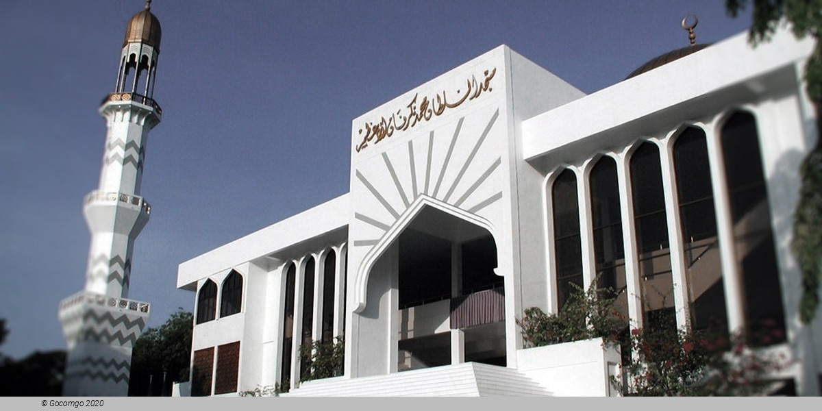
The most revered place in Malé is the Medhu Ziyaaraiy, across the street from the Malé Friday Mosque: the tomb of Abu al-Barakat Yusuf al-Barbari, considered to have converted the Maldives to Islam in 1153.