Lake Baikal
Lake Baikal is a rift lake located in southern Siberia, Russia, between Irkutsk Oblast to the northwest and the Buryat Republic to the southeast. Lake Baikal is the largest freshwater lake by volume in the world, containing 22 to 23% of the world's fresh surface water. With 23,615.39 km3 (5,670 cu mi) of freshwater, it contains more water than all of the North American Great Lakes combined.
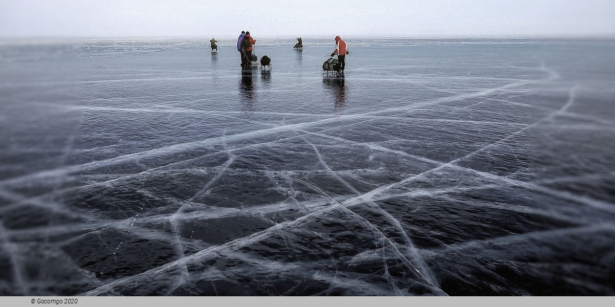
Water characteristics
Baikal is one of the clearest lakes in the world. During the winter, the water transparency in open sections can be as much as 30–40 m (100–130 ft), but during the summer it is typically 5–8 m (15–25 ft). Baikal is rich in oxygen, even in deep sections, which separates it from distinctly stratified bodies of water such as Lake Tanganyika and the Black Sea.
In Lake Baikal, the water temperature varies significantly depending on location, depth, and time of the year. During the winter and spring, the surface freezes for about 4–5 months; from early January to early May–June (latest in the north), the lake surface is covered in ice. On average, the ice reaches a thickness of 0.5 to 1.4 m (1.6–4.6 ft), but in some places with hummocks, it can be more than 2 m (6.6 ft). During this period, the temperature slowly increases with depth in the lake, being coldest near the ice-covered surface at around freezing, and reaching about 3.5–3.8 °C (38.3–38.8 °F) at a depth of 200–250 m (660–820 ft). After the surface ice breaks up, the surface water is slowly warmed up by the sun, and in May–June, the upper 300 m (980 ft) or so becomes homothermic (same temperature throughout) at around 4 °C (39 °F) because of water mixing. The sun continues to heat up the surface layer, and at the peak in August can reach up to about 16 °C (61 °F) in the main sections and 20–24 °C (68–75 °F) in shallow bays in the southern half of the lake. During this time, the pattern is inverted compared to the winter and spring, as the water temperature falls with increasing depth. As autumn begins, the surface temperature falls again and a second homothermic period at around 4 °C (39 °F) of the upper circa 300 m (980 ft) occurs in October–November. In the deepest parts of the lake, from about 300 m (980 ft), the temperature is stable at 3.1–3.4 °C (37.6–38.1 °F) with only minor annual variations.
The average surface temperature has risen by almost 1.5 °C (2.7 °F) in the last 50 years, resulting in a shorter period where the lake is covered by ice. At some locations, hydrothermal vents with water that is about 50 °C (122 °F) have been found. These are mostly in deep water but locally have also been found in relatively shallow water. They have little effect on the lake's temperature because of their huge volume.
Stormy weather on the lake is common, especially during the summer and fall, and can result in waves as high as 4.5 m (15 ft).
History
The Baikal area, sometimes known as Baikalia, has a long history of human habitation. Near the village of Mal'ta, some 160 km northwest of the lake, remains of a young human male known as MA-1 or "Mal'ta Boy" are indications of local habitation by the Mal'ta–Buret' culture ca. 24,000 BP. An early known tribe in the area was the Kurykans.
Located in the former northern territory of the Xiongnu confederation, Lake Baikal is one site of the Han–Xiongnu War, where the armies of the Han dynasty pursued and defeated the Xiongnu forces from the second century BC to the first century AD. They recorded that the lake was a "huge sea" (hanhai) and designated it the North Sea (Běihǎi) of the semimythical Four Seas. The Kurykans, a Siberian tribe who inhabited the area in the sixth century, gave it a name that translates to "much water". Later on, it was called "natural lake" (Baygal nuur) by the Buryats and "rich lake" (Bay göl) by the Yakuts. Little was known to Europeans about the lake until Russia expanded into the area in the 17th century. The first Russian explorer to reach Lake Baikal was Kurbat Ivanov in 1643.
Russian expansion into the Buryat area around Lake Baikal in 1628–58 was part of the Russian conquest of Siberia. It was done first by following the Angara River upstream from Yeniseysk (founded 1619) and later by moving south from the Lena River. Russians first heard of the Buryats in 1609 at Tomsk. According to folktales related a century after the fact, in 1623, Demid Pyanda, who may have been the first Russian to reach the Lena, crossed from the upper Lena to the Angara and arrived at Yeniseysk.
Viktor Savin (1624) and Maksim Perfilyev (1626 and 1627–28) explored Tungus country on the lower Angara. To the west, Krasnoyarsk on the upper Yenisei was founded in 1627. A number of ill-documented expeditions explored eastward from Krasnoyarsk. In 1628, Pyotr Beketov first encountered a group of Buryats and collected yasak (tribute) from them at the future site of Bratsk. In 1629, Yakov Khripunov set off from Tomsk to find a rumored silver mine. His men soon began plundering both Russians and natives. They were joined by another band of rioters from Krasnoyarsk but left the Buryat country when they ran short of food. This made it difficult for other Russians to enter the area. In 1631, Maksim Perfilyev built an ostrog at Bratsk. The pacification was moderately successful, but in 1634, Bratsk was destroyed and its garrison killed. In 1635, Bratsk was restored by a punitive expedition under Radukovskii. In 1638, it was besieged unsuccessfully.
In 1638, Perfilyev crossed from the Angara over the Ilim portage to the Lena River and went downstream as far as Olyokminsk. Returning, he sailed up the Vitim River into the area east of Lake Baikal (1640) where he heard reports of the Amur country. In 1641, Verkholensk was founded on the upper Lena. In 1643, Kurbat Ivanov went further up the Lena and became the first Russian to see Lake Baikal and Olkhon Island. Half his party under Skorokhodov remained on the lake, reached the Upper Angara at its northern tip, and wintered on the Barguzin River on the northeast side.
In 1644, Ivan Pokhabov went up the Angara to Baikal, becoming perhaps the first Russian to use this route, which is difficult because of the rapids. He crossed the lake and explored the lower Selenge River. About 1647, he repeated the trip, obtained guides, and visited a 'Tsetsen Khan' near Ulan Bator. In 1648, Ivan Galkin built an ostrog on the Barguzin River which became a center for eastward expansion. In 1652, Vasily Kolesnikov reported from Barguzin that one could reach the Amur country by following the Selenga, Uda, and Khilok Rivers to the future sites of Chita and Nerchinsk. In 1653, Pyotr Beketov took Kolesnikov's route to Lake Irgen west of Chita, and that winter his man Urasov founded Nerchinsk. Next spring, he tried to occupy Nerchensk but was forced by his men to join Stephanov on the Amur. Nerchinsk was destroyed by the local Tungus but restored in 1658.
The Trans-Siberian Railway was built between 1896 and 1902. Construction of the scenic railway around the southwestern end of Lake Baikal required 200 bridges and 33 tunnels. Until its completion, a train ferry transported railcars across the lake from Port Baikal to Mysovaya for a number of years. The lake became the site of the minor engagement between the Czechoslovak Legion and the Red Army in 1918. At times during winter freezes, the lake could be crossed on foot, though at risk of frostbite and deadly hypothermia from the cold wind moving unobstructed across flat expanses of ice. In the winter of 1920, the Great Siberian Ice March occurred, when the retreating White Russian Army crossed frozen Lake Baikal. The wind on the exposed lake was so cold, many people died, freezing in place until the spring thaw. Beginning in 1956, the impounding of the Irkutsk Dam on the Angara River raised the level of the lake by 1.4 m (4.6 ft).
As the railway was built, a large hydrogeographical expedition headed by F.K. Drizhenko produced the first detailed contour map of the lake bed.