Lysekil
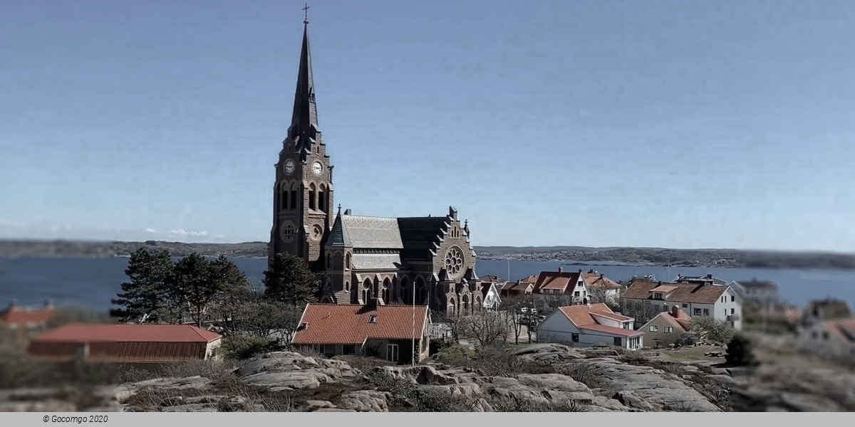
Lysekil is a locality and the seat of Lysekil Municipality in Västra Götaland County, Sweden. It had about 7,600 inhabitants in 2018. Situated on the south tip of Stångenäs peninsula at the mouth of Gullmarn fjord, it has two nature reserves. Originally a small fishing village, it developed into a town for fishing industries, commercial shipping, and trade during the 18th and 19th centuries. The stone industry based on the red Bohus granite from quarries in the town was also vital to Lysekil up until the 1950s. One of Sweden's largest oil refineries, Preemraff Lysekil is situated outside the town.
History
Lysekil is first mentioned in 1570.It was originally an estate belonging to Lyse farm further inland. The population lived mostly on fishing and commercial shipping. The first settlement was on the north side on the tip of Stångenäs peninsula, where a natural, sheltered harbor is formed by a bay in Kornö fjord. The area is known today as North Harbor (Norra Hamnen). Before fixed lighthouses were built in the area, the local inhabitants would light false beacon fires, causing ships to run aground. Pillaging wrecks and also killing sailors who defended their stranded ships, was common along the coastline. During the Great Northern War (1700–1721), Lysekil was one of the harbors along the Swedish west coast where privateering became sanctioned by the government through the issuing of letters of marque. Charles XII of Sweden needed ships and men for the navy and one of the ways to get this was to give private ships and captains permission to seize and capture enemy ships and their crews.
When herring fishing peaked after 1750, fishing industries flourished in Lysekil. The main export products were salted herring and train oil made from boiled herring to extract the oil. During the Age of Sail, Lysekil became a center for fishing, shipping, and transport. In the mid-1800s, the fishing village had a number of sailing ships. In 1909, 18 large sailing ships and 10 steamboats were registered in Lysekil. The harbor records that same year show 6,832 ships, including 185 foreign, coming and leaving.
During the second part of the 1800s, Lysekil developed into a bathing resort. The first warm water bathhouse was made from the cabin of a ship and the first real house was built in 1849. In 1859, Carl Curman became a resident physician at the resort. He had studied the climate along the west coast and found Lysekil to be best suited for a spa town and through his contacts, the town became a resort favored by the Stockholm socialite. New bathhouses, hotels, and parks were built in 1864–1890 along the south side of the town, now known as the South Harbor (Södra Hamnen). Among those were the two Curman Villas built in Dragestil.
During World War II was one of the ports involved in Operation Bridford during which fast ships, called "Blockade runners", could break through the German Skagerrak mine blockade and ship ball bearings to Kingston upon Hull, England. The same route was later used to bring supplies and ammunition from Britain to the Danish resistance movement.
Geography
Lysekil is situated on the south tip of the Stångenäs peninsula on the Swedish west coast at the mouth of Gullmarn fjord. The town is surrounded on three sides by the sea and a number of islands and islets. The largest islands are Stora and Lilla Skeppsholmen, Skälholmarna, Valboholmen, Humlesäcken, Stångholmen, Släggö, Grötö, and Tova.
Lysekil is surrounded by harbors, piers, boardwalks, and quays on all sides facing the sea. The two main harbors are North Harbor and South Harbor. At the North Harbor, the original small wooden cottages and houses from the first settlement, Gamlestan (Old Town), have been restored and rebuilt into a picturesque part of the town. Both the north and the south harbors have guest harbors as well as plenty of restaurants and cafés.
Nature reserves
There are two nature reserves in Lysekil, Stångehuvud and Gullmarn fjord. The red granite cliffs of Stångehuvud were bought for conservation purposes in 1920 by Calla Curman and in 1982, the area was established as a nature reserve. The cliffs make up the southwest end of Stångenäs peninsula. In 1983, Gullmarn fjord was designated as Sweden's first marine conservation area.